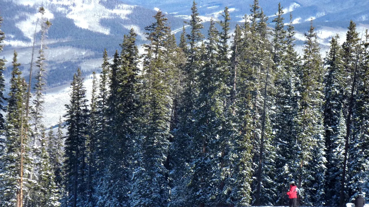
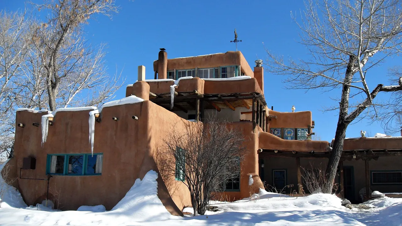
Photos: Beaver Creek by Joe Lin, CC BY 2.0, cropped; Taos by PhictureGal, CC BY-SA 3.0, cropped.
Beaver Creek or Taos?
Our verdict in twelve categories, each scored against the same fixed benchmark cities, and the climate month by month, so you can choose for your trip.
Choose Beaver Creek for
- getting around
- families
- live music and the arts
Beaver Creek suits a family ski trip where ease matters more than anything else. Ski-in ski-out lodging, free shuttles, a large ski school and a car-free plaza take most of the effort out of a week on the snow, and the summer festivals in the valley add good evenings. You pay heavily for that comfort, and there is little to see once you step off the mountain.
Choose Taos for
- culture and sights
- prices
- day trips
Travellers who want the mountains and a sense of place should look at Taos. Alongside steep skiing and the Rio Grande gorge, it has Taos Pueblo, the adobe church at Ranchos, an art-colony history and the High Road to Santa Fe. It costs noticeably less, though you will drive almost everywhere and children have fewer things made for them.
Scoreboard
Twelve categories on one fixed scale from 0 to 100. The shaded stretch is the gap between the two.
Your match
Pick a travel style or drag the sliders, and both match scores follow your weighting.
Wins on getting around and families with your weighting.
Wins on culture and sights and prices with your weighting.
What matters to you?
Category by category
What the scores mean for a trip.
Beaches & swimming
Both are high-country towns far from any coast, and swimming is an afterthought in each. Beaver Creek at least has the small sandy patch at Nottingham Lake down in Avon, cold with snowmelt. Taos offers hotel pools and riverside hot springs, which are for soaking rather than swimming.
Food & drink
The food is about as good in both, but very different. Beaver Creek serves polished resort cooking, with elk, lamb and trout, long wine lists and dinners at on-mountain lodges reached by sleigh, and you go down to Avon and Edwards for cheaper meals.
Taos has a real regional cuisine: red and green chile, posole, carne adovada and horno bread from the Pueblo, served in old family-run places along the road to Ranchos. If you want to taste somewhere specific, choose Taos. Choose Beaver Creek for refined dinners in a comfortable setting.
Culture & sights
This is where the two differ most. Beaver Creek was built as a ski resort around 1980, and beyond the outdoor art on its plaza it has no history to visit.
Taos has a thousand years of it. The multi-storey adobe houses of Taos Pueblo are still lived in, the buttressed church at Ranchos de Taos drew O'Keeffe and Ansel Adams, and the Harwood, Millicent Rogers and Fechin collections tell the story of the art colony. Plan two or three slow days for it all.
Nightlife
Neither has much going on after dinner. Beaver Creek's evening is après-ski by a fire pit and a quiet hotel lounge, with Vail nearby for a busier bar. Taos is more casual and local: a margarita in an adobe hotel bar, a brewery taproom or a saloon with a band.
Nature & outdoors
Both are excellent mountain bases, and the difference lies in the terrain. Beaver Creek is groomed, uncrowded skiing up to about 3,500m with Vail's huge area next door, and in summer it has forest trails into the Holy Cross Wilderness, fly-fishing and rafting on the Eagle and Colorado.
Taos Ski Valley is steeper and more demanding, and the landscape around the town is wilder and more open: the Rio Grande gorge cutting through sagebrush plateau, Wheeler Peak at 4,013m and whitewater in the Taos Box. Pick Beaver Creek for easy skiing and Taos for big desert skies.
Day trips
Taos has the richer range of outings. The High Road to Santa Fe passes adobe churches at Las Trampas and the sanctuary at Chimayó, and Ghost Ranch and Abiquiu lie in O'Keeffe country to the west.
From Beaver Creek the outings are other mountain towns, Vail, Breckenridge and old silver-mining Leadville, all pleasant and quite similar to one another. Glenwood Springs adds a spa town, but nothing compares with Taos's mix of Hispanic villages and Santa Fe.
Good for families
Beaver Creek is designed around families: a large ski school, learning areas, an ice rink, escalators from the car parks, warm cookies when the lifts close and a car-free plaza where older children can roam. Summer adds ropes courses and mini golf on the hilltop.
Taos welcomes children but does little specifically for them. Float trips, horse riding and the recreation centre pool work well for outdoorsy families, but every outing means a drive and the museums are small art collections.
Getting around
Inside Beaver Creek you hardly need a car, thanks to the pedestrian core, the outdoor escalators, free shuttles and valley buses to Vail, and Eagle airport is only about half an hour away.
Taos is a car town. Only the plaza area is walkable, the Pueblo, gorge, ski valley and villages are spread across a wide valley, and the drive from Albuquerque takes about two and a half hours. Driving in winter needs care at both.
Shopping & style
In Taos shopping means craft with roots: turquoise and silver, micaceous pottery and bread bought from makers at the Pueblo, Rio Grande weaving and carved santos, alongside galleries in the art-colony tradition. Collectors can spend days here.
Beaver Creek's plaza is a small upmarket cluster of ski wear, western boots and galleries of bronze sculpture. It is fine for browsing on a rest day, but it has less range and less local character.
Affordability
Taos is far easier on the wallet. Its simple motels and New Mexican diners are fairly priced, and only the historic inns and ski-valley lodging charge resort rates. Budget for a hire car, though.
Beaver Creek is among the costliest vacations on the continent. Lodging, lift tickets, ski school and dining are all priced at the top, and staying in Avon or coming in summer helps only a little.
Live music & performing arts
Beaver Creek has the fuller programme, with the Vilar Performing Arts Center in the village and, in summer, Bravo! Vail orchestras and the Vail Dance Festival in the amphitheatre twenty minutes away.
What Taos offers is rarer and less frequent: traditional dances at Taos Pueblo on feast days such as San Gerónimo, watched quietly and without cameras, plus a summer chamber music festival and local bands in bars.
Wellness & relaxation
Beaver Creek pampers you, while Taos lets the landscape do the work. In Beaver Creek that means big resort spas, outdoor hot tubs in the snow and a quiet, car-free village, with the huge mineral pool at Glenwood Springs about an hour away.
Taos is earthier and more spiritual: several different mineral waters in the pools at Ojo Caliente, primitive hot springs at the bottom of the Rio Grande gorge that you have to walk down to, and yoga and retreat centres in the silence of the plateau.
When should you go?
Pick your month. The climate figures are measured averages, not a forecast.
Beaver Creek in July
Taos in July
Daytime high, °C
Rainfall in the month, mm
Where the figures come from
Beaver Creek's temperatures are measured 34 km from the centre, at Eagle County / Gypsum.
Beaver Creek's station stands 268 m below the city centre, so the centre is likely a little cooler than the figures say.
Beaver Creek has no rain gauge within 25 km of the centre, so its rainfall comes from a gridded climate dataset read at the city rather than from a gauge further away.
Taos has no rain gauge within 25 km of the centre, so its rainfall comes from a gridded climate dataset read at the city rather than from a gauge further away.
Temperature and rainfall are climate normals, averaged over the years shown. Beaver Creek: 1992-2020 (rainfall 1991-2020) normals, Eagle County / Gypsum (33.8 km from centre). Taos: 2006-2020 (rainfall 1991-2020) normals, Taos / Los Cordovas (10.5 km from centre).
Neither place has a beach season, so the year divides into ski months and warm months. Beaver Creek is the colder in winter, with daytime highs around 1°C in December and January, and Taos stays a few degrees milder through the cold season. Both warm quickly from May. Taos gets hot a little sooner, in June, and both reach about 29°C in high summer. Walking and hiking stay comfortable in both into September.
Rain is light in both, but it falls in different patterns. Beaver Creek gets a fairly even amount all year, with a little more from July to September. Taos is drier through winter and spring, and July and August are its wettest months, with about 47mm in August, much of it in afternoon thunderstorms, so start mountain walks early. September stays fairly wet there too. For settled autumn days, October suits both. It is drier than September in each, and with daytime highs of around 16°C in Beaver Creek and 18°C in Taos, it is good for being outdoors before November turns cold.
Which traveller are you?
On a culture and arts trip, Taos is the clear choice. Taos Pueblo, a living World Heritage site, the Ranchos church and the small art-colony museums fill several days, and Santa Fe is within reach. Beaver Creek's planned village takes about an hour.
On a family trip with children, Beaver Creek makes life easier. Its big ski school, children's terrain, ice rink, summer adventure area and car-free plaza are all built around families, whereas Taos asks children to spend long stretches in the car and offers little made for them.
On a trip on a tight budget, Taos is the only realistic option of the two. Simple motels and New Mexican diners keep costs reasonable, especially in spring and late autumn. Beaver Creek's lodging, lift tickets and dining are expensive in every season.
Before you go
| Measure | Beaver Creek | Taos |
|---|---|---|
| Currency | US Dollar (USD) | US Dollar (USD) |
| Sockets | AB120 V, 60 Hz | AB120 V, 60 Hz |
| Driving side | Right | Right |
| Time zone | UTC-7, UTC-6 in summer | UTC-7, UTC-6 in summer |
| Emergency number | 911 | 911 |
| Elevation | 2,264 m | 2,124 m |
| Main airport | Eagle County Regional Airport (EGE)34 km from centre16 non-stop destinations | Santa Fe Municipal Airport (SAF)99 km from centre5 non-stop destinations |
| Public holidays this year | 12 days | 13 days |
By the numbers
| Measure | Beaver Creek | Taos |
|---|---|---|
| City population | - | 6,474 |
| People per km² | - | 415 |
| Museums within 10 km | 0 | 4 |
| UNESCO World Heritage sites within 50 km | 0 | 1 |
Where else could you go?
Every comparison below shares a destination with this one, so you can follow Beaver Creek or Taos somewhere new.
- Vailvs Beaver Creek
- Copper Mountainvs Beaver Creek
- Breckenridgevs Beaver Creek
- Keystonevs Beaver Creek
- Aspenvs Beaver Creek
- Winter Park, Coloradovs Beaver Creek