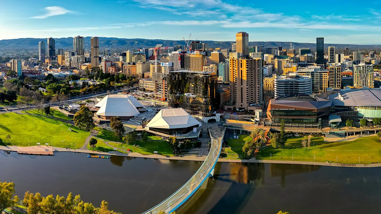
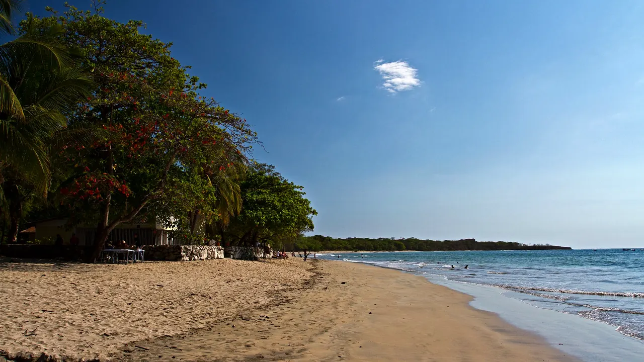
Photos: Adelaide by Ardash Muradian, CC BY-SA 2.0, cropped; Tamarindo by Jarle Naustvik, CC BY 2.0, cropped.
Adelaide or Tamarindo?
Our verdict in twelve categories, each scored against the same fixed benchmark cities, and the climate month by month, so you can choose for your trip.
Choose Adelaide for
- live music and the arts
- culture and sights
- food and drink
What lies behind each score is written up on Adelaide’s own page.
Choose Tamarindo for
- beaches
- nature and the outdoors
- nightlife
What lies behind each score is written up on Tamarindo’s own page.
Scoreboard
Twelve categories on one fixed scale from 0 to 100. The shaded stretch is the gap between the two.
What lies behind each score is written up on the two cities’ own pages: Adelaide and Tamarindo.
Your match
Pick a travel style or drag the sliders, and both match scores follow your weighting.
Wins on live music and the arts and culture and sights with your weighting.
Wins on beaches and nature and the outdoors with your weighting.
What matters to you?
When should you go?
Pick your month. The climate figures are measured averages, not a forecast.
Adelaide in July
Tamarindo in July
Daytime high, °C
Rainfall in the month, mm
Where the figures come from
Tamarindo's temperatures are measured 54 km from the centre, at Liberia.
Tamarindo has no rain gauge within 25 km of the centre, so its rainfall comes from a gridded climate dataset read at the city rather than from a gauge further away.
Temperature and rainfall are climate normals, averaged over the years shown. Adelaide: 1991-2020 normals, Adelaide (West Terrace / ngayirdapira) (3.1 km from centre). Tamarindo: 1991-2020 normals, Liberia (53.8 km from centre).
Before you go
| Measure | Adelaide | Tamarindo |
|---|---|---|
| Official language | English | Spanish |
| Currency | Australian Dollar (AUD) | Costa Rican Colon (CRC) |
| Sockets | I230 V, 50 Hz | AB120 V, 60 Hz |
| Driving side | Left | Right |
| Time zone | UTC+9:30, UTC+10:30 in summer | UTC-6 |
| Emergency number | 000 | 911 |
| Elevation | 1 m | 27 m |
| Main airport | Adelaide International Airport (ADL)6 km from centre35 non-stop destinations | Daniel Oduber Quirós International Airport (LIR)43 km from centre30 non-stop destinations |
| Public holidays this year | 12 days | 11 days |
By the numbers
| Measure | Adelaide | Tamarindo |
|---|---|---|
| City population | 1,387,290 | 7,132 |
| People per km² | 1,071 | 57 |
| Museums within 10 km | 13 | 0 |
| UNESCO World Heritage sites within 50 km | 0 | 0 |
| Swim season, months above 21 °C | 3 months | 12 months |
Where else could you go?
Every comparison below shares a destination with this one, so you can follow Adelaide or Tamarindo somewhere new.